Welcome to Wonderful Anguilla
HISTORY
Originally, Anguilla was called Malliouhana and was populated by the Arawak Indians. The Arawaks lived by growing cassava, sweet potato, cotton and corn, as well as fishing. After having been colonized by Dutch pirates in the 17th century, it was the English who took possession of the island around 1680 by creating plantations there. After the abolition of slavery in 1834, the colonists left the island and sold their goods to their former slaves. From 1882 to 1967, Anguilla was part of the Saint-Christophe-Niévès-Anguilla colony. But this is a situation that does not suit the residents of Anguilla who feel aggrieved by this triumvirate. It was in 1967 that the United Kingdom granted Anguilla autonomy. After this split, it was only a few years later, in 1892, that Anguilla became an independent state, adopting a constitution which made it a fully-fledged British territory.
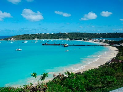
GEOGRAPHY
Anguilla is an island in the Caribbean, located northeast of Saint Martin.
It is an archipelago of 102 km2, composed of the islands of Anguilla, Crocus Island, Dog Island and Prickly Pear. The main island, the only one inhabited, covers an area of 96 km2. It has a flat relief, its altitude not exceeding 65m. This former British colony owes its name to its elongated shape reminiscent of that of the eel.
Capital: The Valley
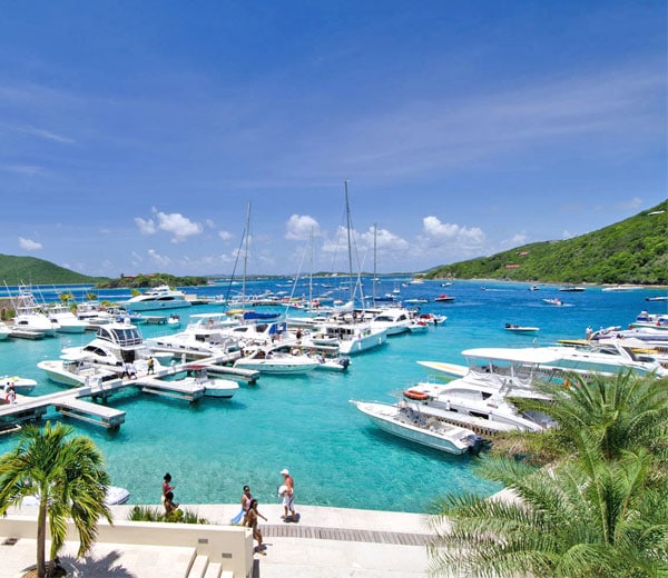
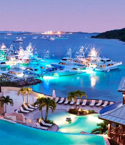
ECONOMY
The economy was based on cattle breeding, salt production, fishing, rum, tobacco and boat building. Then it was the advent of the tourism industry which took precedence over traditional activities. Many luxury hotels were built which made the island an upscale tourist spot. The island has developed another form of economy by offering a range of offshore services for international companies, giving it the status of a tax haven, offering companies confidentiality of their accounts and low or no taxation.
PLACES TO VISIT
The Anguillan Heritage Museum in the East End district
The Wallblake House in The Valley – An old plantation.
Fountain Cavern National Park in Shaol Bay Village.
The old salt extraction plant.
USEFUL INFORMATION
Country: United Kingdom
Status : British Overseas Territory
Airport: Wallblake
Climate: Tropical and humid with regular winds
Traffic: Driving is therefore on the left. Possibility to buy a day driving license.
Currency : The East Caribbean dollar (XCD) and the United States dollar (USD) are used.
Electricity: 110 V – 60 Hz
Fees and taxes: 10% more on the price of rooms as well as for restaurant bills
International telephone call code: +1 264
Language : English
TOURISM OFFICE WEBSITE